Final Report: Open Drone Map

Output type
Report
Location
No items found.
Focus areas
No items found.
Topics
No items found.
Programme
Humanitarian Innovation
Organisations
ShadowView Foundation
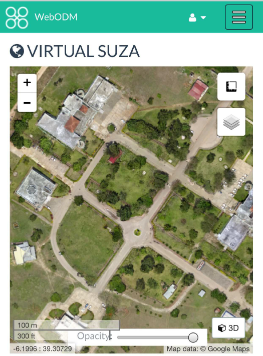


Effective disaster preparedness, monitoring, relief coordination, and damage assessments are predicated on reliable, up-to-date geographic information paired with on-the-ground knowledge. The detailed imagery available from unmanned aerial vehicles well fits this predicate due to high level of spatial detail, flexibility in requisition, and image quality. OpenDroneMap sought to provide fast, accurate, easy-to-use, and scalable processing of aerial drone imagery that is necessary for the next generation of humanitarian response.The final project report provides information on the methodology, activities, outputs, impact and dissemination of learning.
No items found.
Attachments
Other resources
explore all resources
Addressing the mental health needs of those affected by the earthquakes in Türkiye
Innovation 3.0: Building a Creative Ecosystem to Tackle Humanitarian Aid's Most Complex Challenges - GAHI
A suicide safety protocol with vulnerable populations with chronic physical health conditions: A pragmatic protocol implementation among displaced Myanmar adults in Thailand