Final Report: OpenAerialMap
08
January
2015
Output type
Report
Location
No items found.
Focus areas
No items found.
Topics
Information management, communication and technology
Programme
Humanitarian Innovation
Organisations
Humanitarian OpenStreetMap

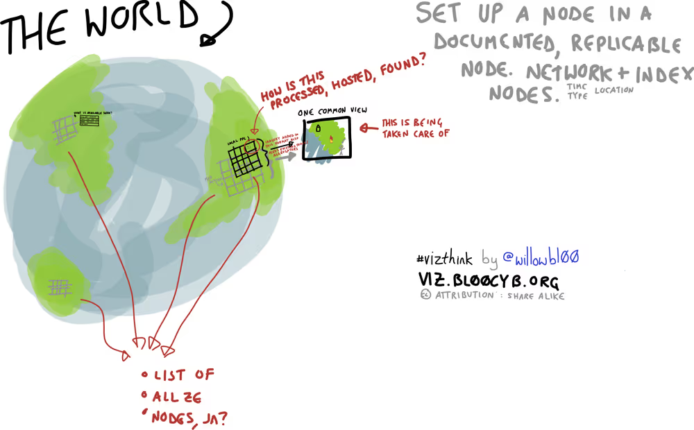
Reliable geographic information can be vital for decision making. Imagery from satellites, Unmanned Aerial Vehicles (UAVs) and other aircraft is being generated more and more; however, after a disaster it is difficult for aid workers to determine what imagery is available and where to access it. OpenAerialMap (OAM) seeks to solve this by providing a simple, open way to process and provide imagery for humanitarian response and disaster preparedness. This final project report provides information on the project methodology, activities, outputs, impact and dissemination of learning.
No items found.
Attachments
Other resources
explore all resources
A revised ethics framework for the R2HC
Final Report: Humanitarian Genome Project
Research Snapshot: A solution to the ‘anaesthesia gap’?