How closely do we observe the nature & the signs of nature around us? How much can these signs tell us about what lies ahead?
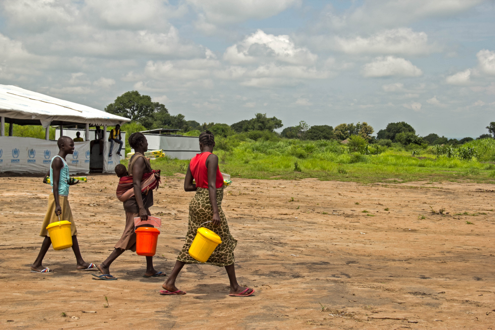


These are some of the questions we have been exploring during our series of district workshops in order to develop a community based DRR model for the Himalayas. The local communities are a storehouse of information and are key repository of the traditional knowledge that has developed over time (and continue to develop) based on the day-to-day experience of the communities, that have helped shape the local culture and survival strategies of the communities. This knowledge would form integral part of the citizen based DRR model that we intend to develop through the project.
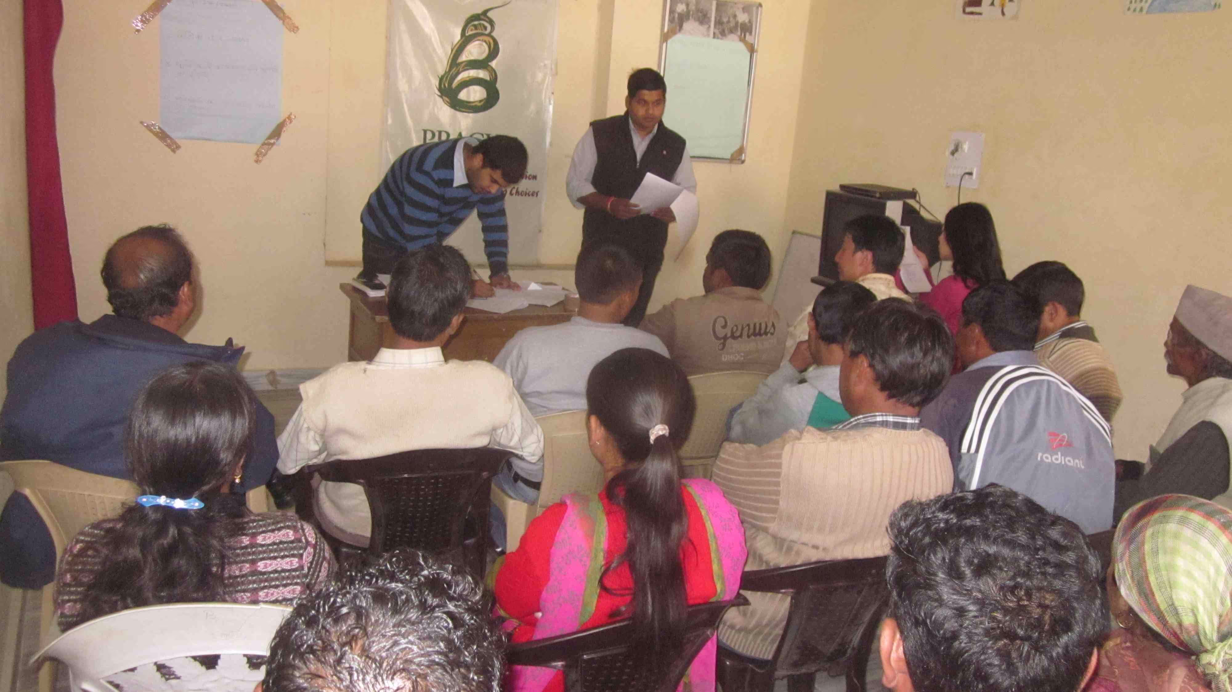
The project seeks to develop a citizen science program for real-time information on local environment (and community preparedness) with a focus on weather (and climate) and hydrological/ mass movement trends and an indicator-based early warning system suitable for the Himalayas (for top 5 hazards) along with a decentralised system for post-disaster damage &; need assessment and communicating the information to relief suppliers. A community-based, citizen science approach will help empower the community and act as a means for building community capacity. Engaging the indigenous community will also ensure acceptability of the system among the people, and sustainability of its use. As part of the participative design process, several grassroots consultations are underway. Of the 6 districts spread across western, central and eastern Himalayan ecozones, consultation has been held in 3 districts so far, starting with Leh (state: Jammu &; Kashmir), followed by Lahaul &; Spiti (state: Himachal Pradesh) and Chamoli (state: Uttarakhand). They have highlighted some of the hazard characteristics of each region.
The consultation in Lahaul and Spiti involved 32 members from government departments (including Block Development Office, District Rural Development Agency, Agriculture, Horticulture, Disaster Management Cell), scientists (from CSIR IHBT Centre for High Altitude Biology), local NGO (Pratham) and community members. The workshop in Chamoli gathered inputs from 36 concerned stakeholders including 2 NGO representatives (Jan Maitree), 2 government officials (NTPC, Revenue Department) 1 scientist (Herbal Research &; Development Institute), 1 local journalist and community members. Apart from identifying the top 5 hazards, they reflected on relevant indicators from physical surroundings or movements/behaviours of living creatures (animals, birds, insects) that are connected to weather conditions. The participants noted signs such as: when animals such as Himalayan Tahr, deer descend to lower grounds, this is usually followed by heavy snow and avalanche; if the moon appears to have red, blue, yellow couloured edges visible around it, this is followed by rains or sandstorm; occurrence of locusts / grasshoppers is usually followed by drought and so on. Efforts are underway to collect more such evidences through village level consultations as well, which would also serve as a process to validate the workshop outputs.
Preparations are underway for national level consultations with experts, through which we would look beyond the target region to pool in knowledge and good practices regarding community based DRR models and ICT based models. We hope to bring in more updates as the model building process gradually unfolds.

Stay updated
Sign up for our newsletter to receive regular updates on resources, news, and insights like this. Don’t miss out on important information that can help you stay informed and engaged.


Explore Elrha
Learn more about our mission, the organisations we support, and the resources we provide to drive research and innovation in humanitarian response.