Final Report: Development and testing of a simplified, standardised, Mid Upper Arm Circumference (MUAC) bracelet

Output type
Report
Location
No items found.
Focus areas
No items found.
Topics
Nutrition
Programme
Humanitarian Innovation
Organisations
Action Against Hunger USA

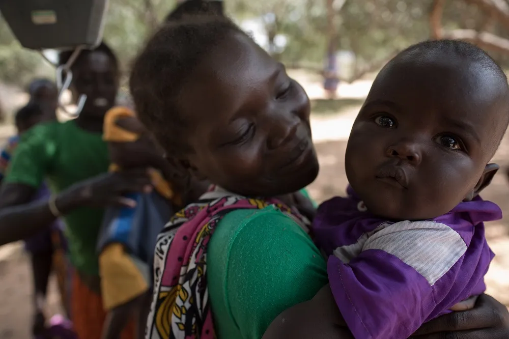
This project focuses on addressing challenges in measurement of severe acute malnutrition by developing a simplified, standard measurement, MUAC bracelet. This aimed to be a highly sensitive and easy-to-use product that will require minimal training by mothers and primary caregivers with low levels of literacy. MUAC measurement is the most common form of anthropometric measurement used at community level for the detection of SAM and is considered to be one of the best proxy indicators for mortality in children aged between 6 to 59 months at community level.The final project report provides information on the methodology, activities, outputs, impact and dissemination of learning.
No items found.
Attachments
Other resources
explore all resources
Simplifying and optimising management of acute malnutrition in children aged 6 to 59 months: study protocol for a 3 arms community-based individually randomised controlled trial in decentralised Niger
Innovation to improve monitoring and evaluation for humanitarian GBV programming
‘The response is like a big ship’: community feedback as a case study of evidence uptake and use in the 2018–2020 Ebola epidemic